Aerial Footage of the Fire in Uçmakdere

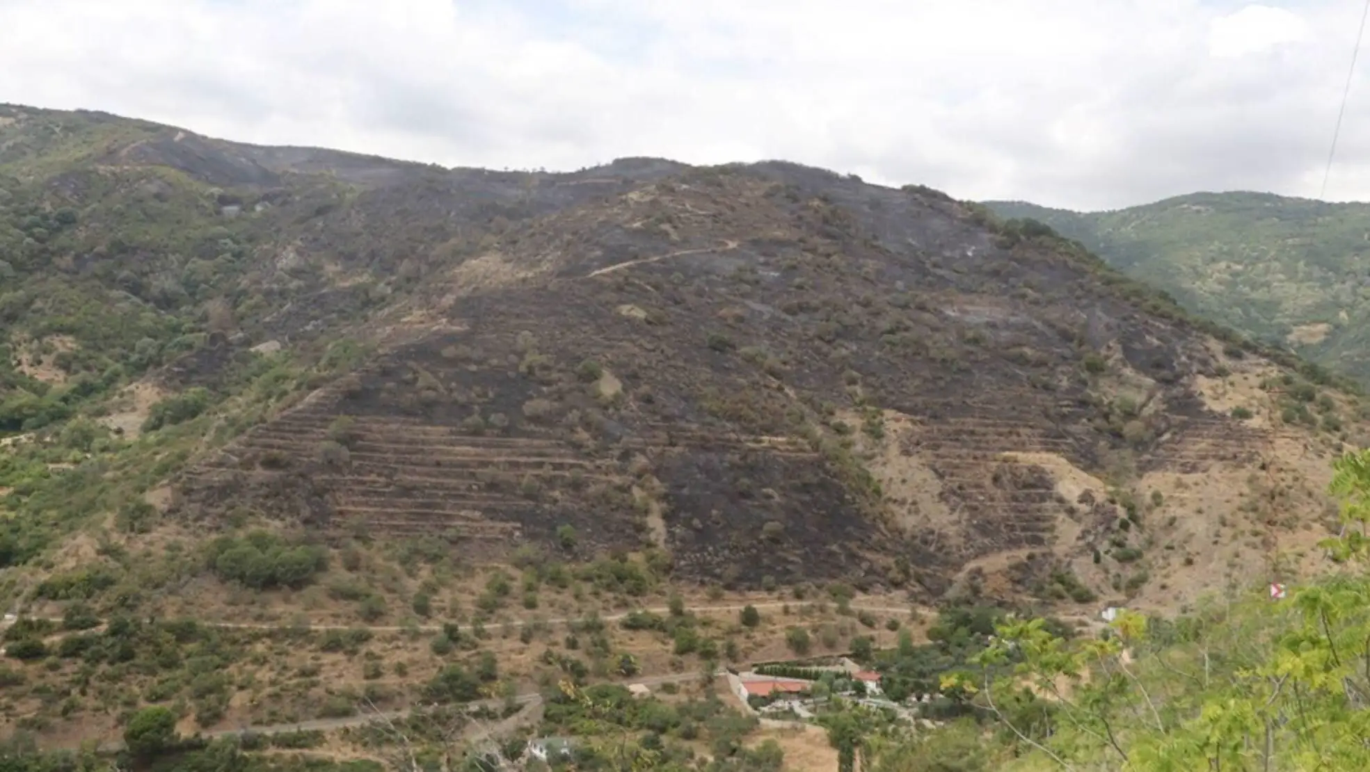
The fire in Uçmakdere has been captured from the air, revealing the extent of the damage caused.
The fire, which started in the scrubland and quickly spread to the forested area, was brought under control thanks to the intensive intervention of the teams. Aerial footage shows the blackened trees and charred ground, highlighting the impact of the fire.

The extent of the affected areas is clearly visible in the aerial shots, and teams are continuing their work to assess the damage. The distance between the point where the fire started and the path it spread is clearly shown in the aerial footage.
After the fire, drone footage revealed the extent of the destruction. The teams that intervened in the fire are continuing cooling operations and long-term efforts are expected to restore the burned areas.